
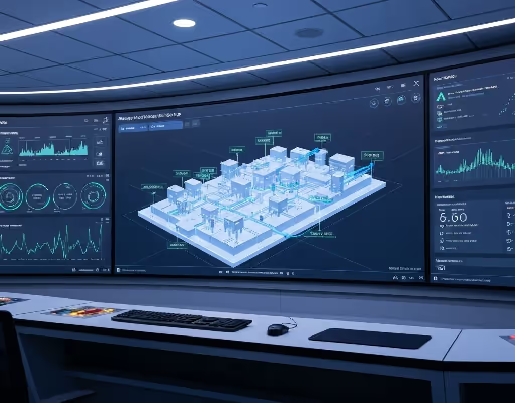
Digital twins for infrastructure
A digital twin for infrastructure brings asset geometry, condition information and monitoring evidence into a shared digital context. Starmass integrates field surveys, sensor networks, GIS, models and reporting around the decisions the asset team needs to make.
Link the model to measured conditions and operating records.
The value of a digital twin depends on the quality and relevance of the information connected to it. A spatial model can provide the baseline, while inspections, sensor readings and maintenance records describe how the asset changes. Starmass helps define the interfaces, identifiers, validation steps and update responsibilities that keep this evidence aligned with the real infrastructure and its operating workflow.
Spatial and asset baseline
Combine survey geometry, as-built information and asset identifiers into a consistent digital record. GIS and model references help teams locate measurements, inspection findings and infrastructure components.
Monitoring integration
Connect validated sensor and acquisition data through documented interfaces. Define timestamps, measurement units and sensor health information so users can understand how current the evidence is.
Decision workflows
Present relevant trends, findings and maintenance context through dashboards and reports. Agree who updates the record, reviews changes and uses the information for inspection, intervention or lifecycle planning.
Applications
- Buildings and structures connecting geometry with condition monitoring.
- Utility networks linking field mapping, leak findings and operating data.
- Infrastructure owners coordinating asset registers, GIS, inspection and maintenance records.
Start with the asset and the decision.
Share the asset type, location, project stage and engineering concern. The Starmass team can help define the evidence, instruments and reporting needed for your monitoring program.